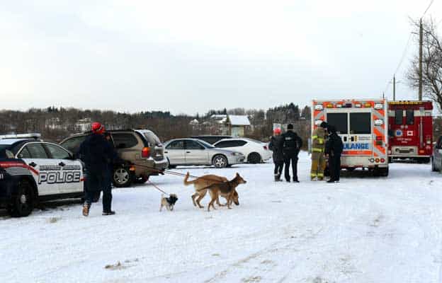
While the early arrival of snow and bitter cold temperatures across the region this week certainly evokes memories of last year’s brutal winter, it may not be a harbinger of another abnormally harsh season.
“What we’re calling for is a winter that is not going to be as long or as cold as last year, even though after this week, we will have had more snow than we did at this time last year,” Dave Phillips, senior climatologist with Environment Canada said. “Don’t be seduced by that though, because a snowy beginning does not mean a snowy end.”
Following a record-breaking winter that brought extreme cold, heavy snowfall and a disastrous ice storm to southern Ontario, forecasters predict a return to the mean.
“It may be a normal winter, but given what we had last year, normal will seem like a tropical heat wave,” Phillips said.
In fact, this first blast “shouldn’t have much staying power,” Phillips added, as temperatures are expected to climb back towards seasonal levels by Sunday.
“It really is a good test for us in terms of wintery weather,” Phillips said. “This week the region saw all of the elements that winter can give us, with the only differences being the intensity and the duration because this is still after all, November. But winter in all its horror, from snow to cold to wind chill to drifting and blowing winds, showed up to give a us a dress rehearsal.”
On the plus side, Phillips said, this week serves as a reminder to get the snow tires on, to bring the lawn furniture into the shed and to dig out “the woolies from the closet.”
“It’s winters way of telling all those procrastinators to get on with it!”
So what happened this week?
“We really had two of the major sources of snow in our area during this week,” Phillips explained. “That is both storms that come up from the United States and bring the white stuff and we also had some homegrown, locally produced snow with some favourable, strong, cold winds off of wide open (no ice) lakes where the difference in temperatures between the air and water is significant and that will produce the squalls and snow bursts.”
So was this week really as unusual as it seemed?
![Students in Wellesley took advantage of a snow day on Nov. 18, sledding behind the St. Clements Arena. From left, Jade Lipczynski, Nikki Beam, Jessie Herbison, Olivia Bolender, Taylor Hartung, Abbey Brick, Lucas Economides, Nolan Hislop, Jake Voisin, Zac Good, and Liam Dietrich.[Whitney Neilson / the observer]](https://www.observerxtra.com/content/images/wp-content/uploads/2014/11/post_snow.jpg)
(Degrees Celsius)
Monday:
Actual: High: 0.6 / Low: -9 / Snow: 3.6 mm
Normal: High: 5 / Low -2 /
Tuesday:
Actual: High: -7 / Low: -10.9 (wind chill as low intense as -19 on 46 km/h gusts)
Normal: High: 4 / Low: -2
Wednesday:
Actual:
Normal: High: 4 / Low: -2


