Flooding season on the horizon, most Canadian municipalities aren’t as well prepared as they should be. Collectively, they received a C+ in the latest assessment by Intact Centre on Climate Adaptation at the University of Waterloo.
The centre carries out flood-preparedness studies every five years, noting the overall grade remains unchanged from the last time around. Figures are based on responses from 53 municipal officers responsible for emergency management, including floods, which are typically the country’s most expensive natural disasters.
Since the last study, some municipalities improved, while others declined, keeping the natural average at the same level, said ICCA head Prof. Blair Feltmate.
“The average score for Canadian cities for flood preparedness in 2019/2020 was C+. In 2015 the average score for Canadian cities was C+, so the average score did not change in approximately five years. However, some cities did improve their score substantially and received a fairly high level of scoring. Edmonton, Regina and Toronto all received a B+. Their scores improved from five years ago, which means other cities did more poorly. It surprised us a little bit that some cities have literally gone backward in their scoring,” said Feltmate. “Some cities are still really not getting the messaging that flood risk is here, it’s here to stay.
From the data released, cities that saw the biggest drop in their flood preparedness grade over five years were Charlottetown, where the score went to D+ from C-, and Winnipeg, which got a D after receiving a B+ five years earlier.
Cities which saw scores jump the most include Halifax, where the score increased to B- from D, and Regina, which rose to B+ from C-.
The closest city to Waterloo Region from the listed 16 in the study is Toronto – which received a score of B+. Having one of the highest preparedness grades in the study is an accomplishment, alongside increasing their score from the prior study, B-.
While not graded, Waterloo Region and its municipalities have emergency management plans, including those for flooding, which is often coordinated with the Grand River Conservation Authority (GRCA).
Each municipality has its own preparations, with the GRCA responsible for dams and reservoirs along the Grand River system. Agency spokesman Cameron Linwood notes many communities within the watershed are at risk from flooding.
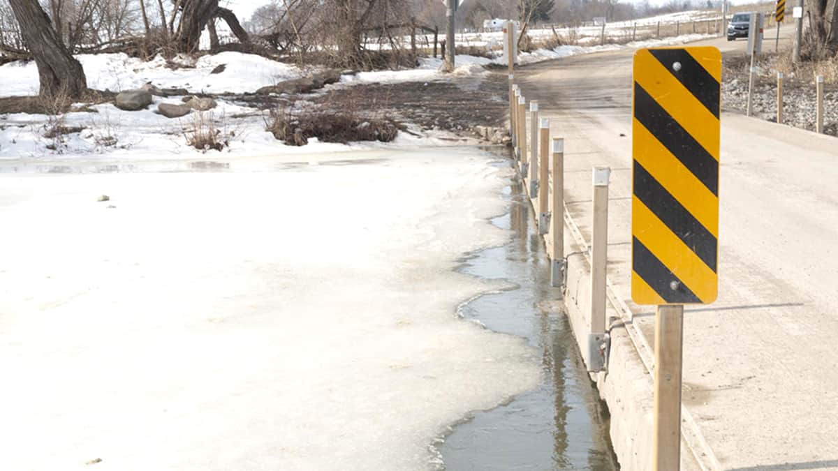
“Like many communities throughout the Grand River watershed, Waterloo Region has properties and infrastructure located within the floodplain that are impacted, and will continue to be impacted, by riverine flooding. The primary risks to these areas include annual spring flooding due to snowmelt, as well as ice jam-related flooding, which can often occur during rapid spring melt or rainfall events. These communities are also susceptible to extreme weather events such as those which occurred in June 2017 and January 2020, where high volumes of rainfall were received during a condensed period of time, resulting in flooding,” said Linwood.
“Residents and businesses located within the floodplains should remain vigilant and familiar with their municipal flood notification and response procedures in the event of flooding. Further to this, those people who have properties located within the floodplain should be aware of actions they can take to prepare for and reduce the impact of flooding on their properties.”


